08
Site circulation
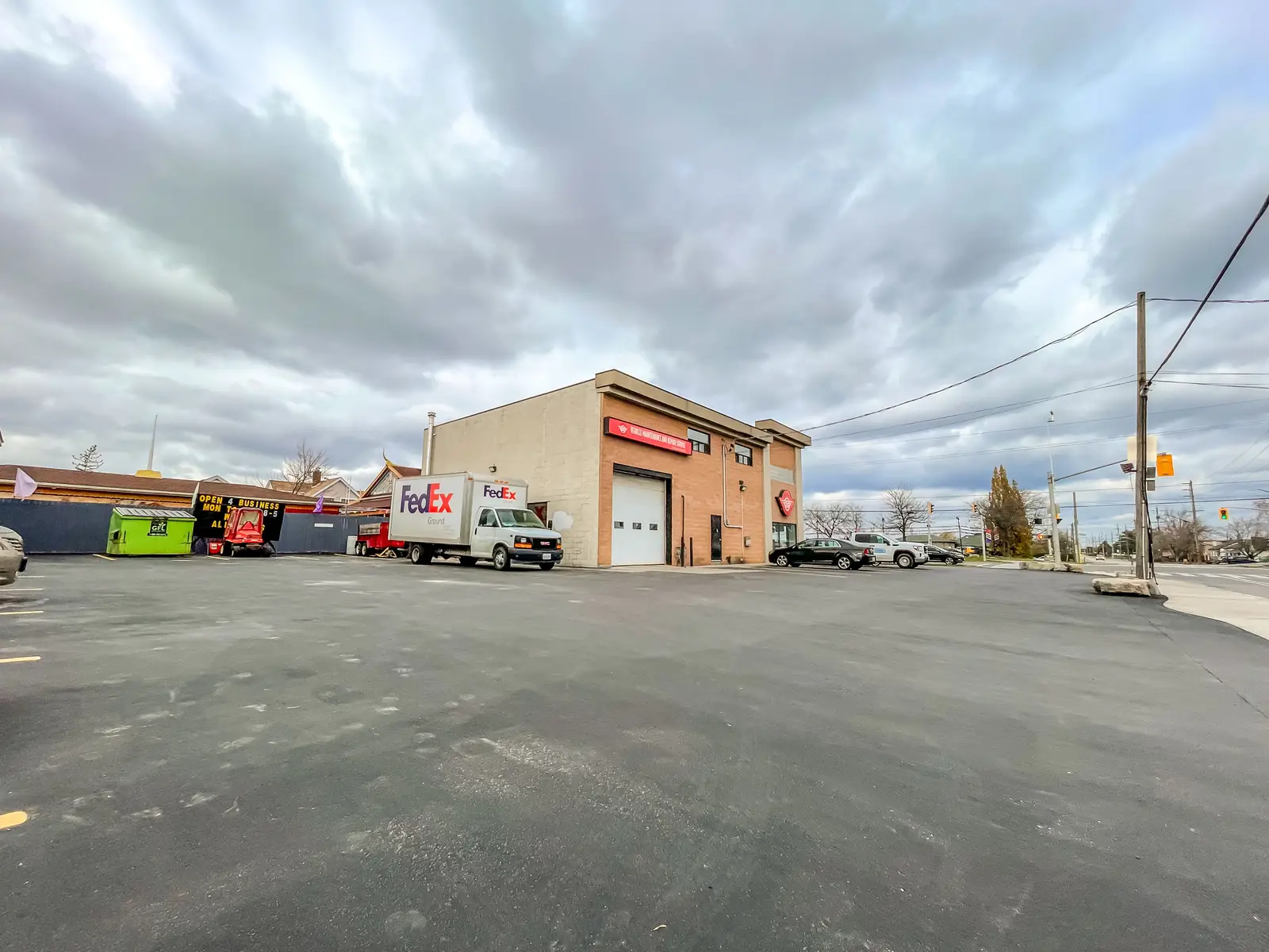
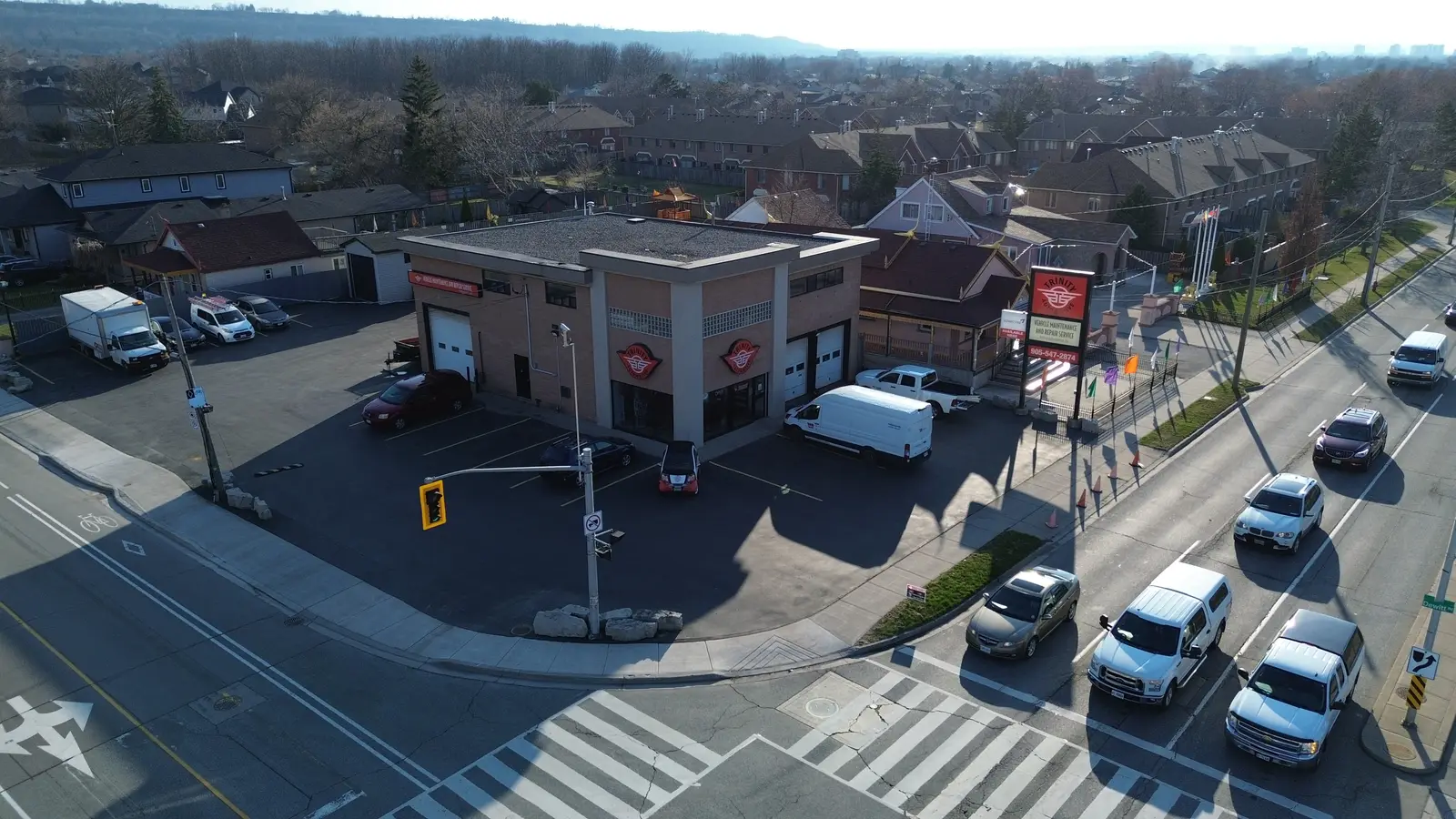
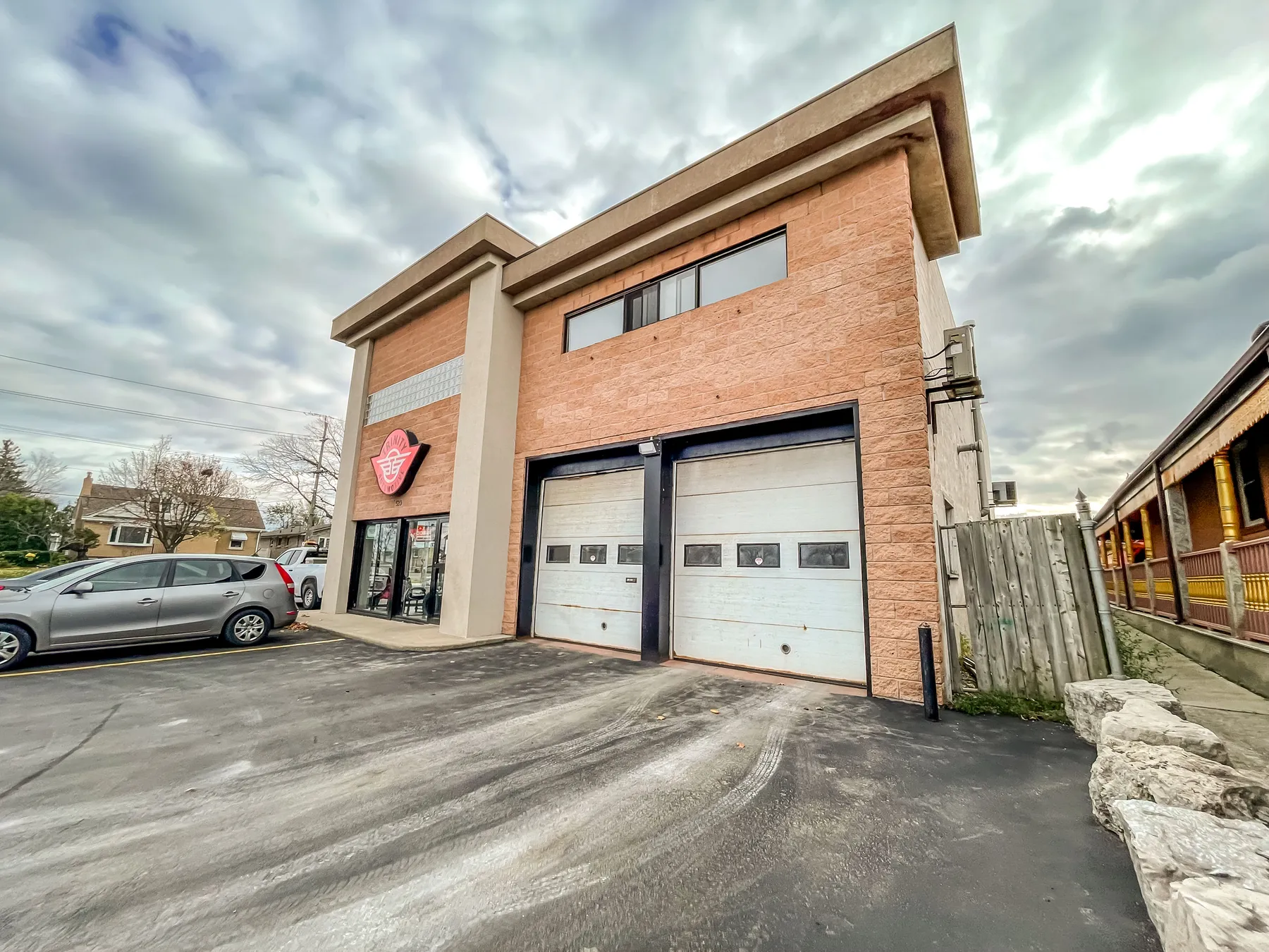
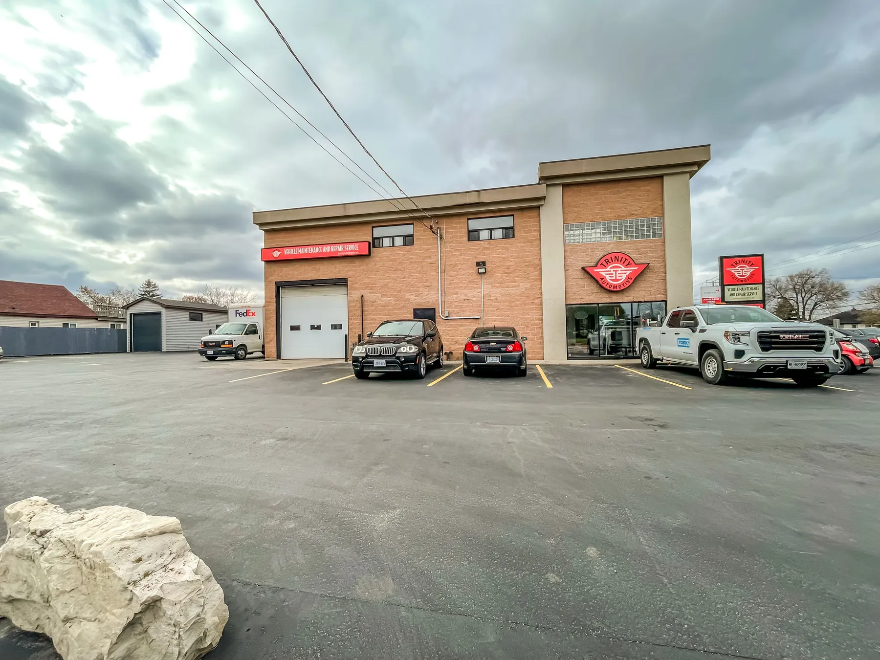
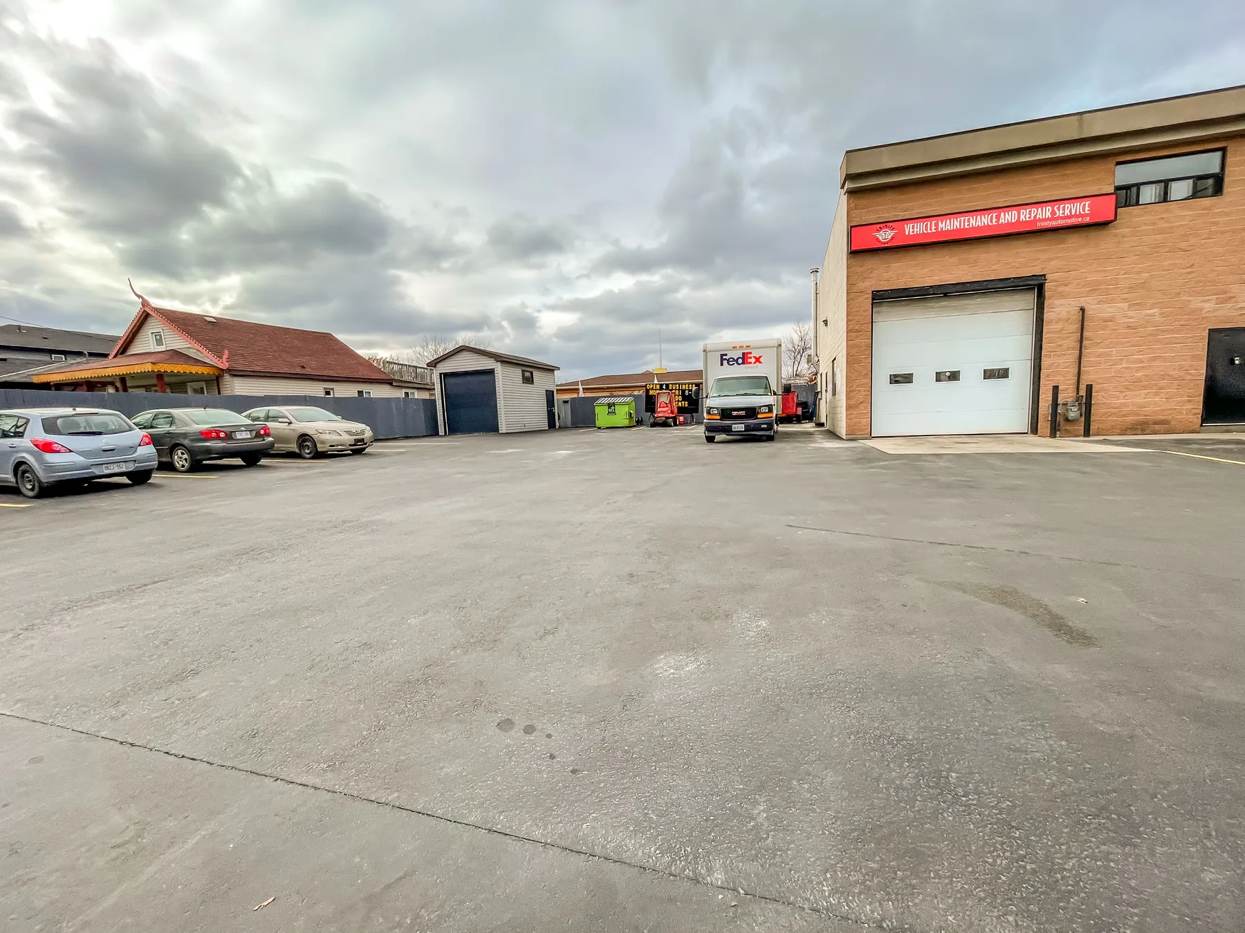
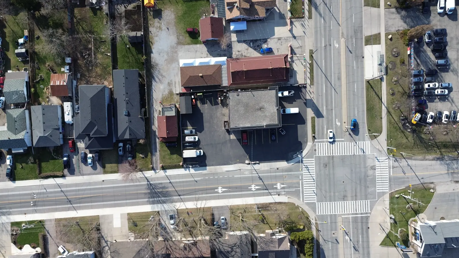 Site photography, the study's own archive. April 2025.
A walking customer cannot reach the rear structure without crossing the lot’s vehicle circulation. That caps what the building can hold. It is the narrowest finding in this study, a bound on one 240 square foot structure, and it is not the reason the program closed.
The lot’s vehicle circulation is fixed by its geometry. Dewitt carries the entries: two curb cuts, the first just south of the corner, the second further down, with a third cut on Barton. The strip west of the building is a gully with no vehicle path, so everything on wheels wraps the building’s north, east and south sides: the apron in front of the twin Barton-facing bays, the east corridor, and the rear lot. Vehicles queue on the apron in front of the bays at exactly the hours a walk-up store wants customers.
The rear structure stands at the south-west of the lot, on the far side of that vehicle plane from both sidewalks. Trace any pedestrian path from the Barton sidewalk or the Dewitt sidewalk to the rear structure and it crosses the vehicle circulation area; the gully rules out a third approach. The geometry offers no route that does not put a walking customer and a moving or queued vehicle in the same plane.
What the geometry caps
The consequence is a cap, not a demolition: in the lot’s current configuration, rear-structure uses that require the public to walk in are out. Uses that do not, such as storage, service functions, or equipment, are unaffected. A customer-facing use sited in that structure would have to move the vehicle plane, the walking route, or the store.
All three are engineerable, and the standing to attempt them was already in hand: the property is held by an entity related to the practice’s principal, as disclosed on the cover, and the rear structure and the lot area in front of it sit outside the leased premises. Re-routing circulation was a question of cost and sequencing.
It was also not the question that decided anything. The platform of chapter 06 is venue-independent by construction: the store could have been a non-producing store, on this lot or another or none, and the outcome would not have changed. What closed the program is in chapters 03 and 07 and Appendix D, where measured category demand sits below the model’s floor, total capital does not pay back inside the kill line, and better-funded operators have already run the experiment and lost. This chapter records a site bound. It is not the verdict.
Notes
- Analysis of the study site’s own plan geometry: lot and frontage dimensions from a 2007 Ontario Land Surveyor site plan of the parcel (on file) and as published at 520barton.com; bay positions and rear-structure position from the study’s aerial and ground photography, April 2025, orientation fixed by the source files’ camera-heading EXIF. The two Dewitt entrances and the gully are the owner side’s account of the property. The walk-up finding is the practice’s own site-plan analysis.
- The standing noted above: the rear structure and the lot area directly in front of it are outside the leased premises and under the owner side’s control. The lease is on file; its terms are not reproduced here. The practice’s principal is on the owner side, as disclosed on the cover.